
[Last updated: 13 August 2014]
For an interactive map, click here.
I've broken it out into legs and will try and update as I go along. This is done in the order of the trip (i.e. first, first), rather than the blog which shows most recent first. The legs are:
Leg 1: Buenos Aires to Ushuaia
Leg 2: Ushuaia to Punta Arenas (via Cape Horn on the Stella Australis)
Leg 3: Punta Arenas to Chile Chico
Leg 4: Chile Chico to Esquel (Carretera Austral)
Leg 5: Esquel to Santiago
Leg 6: Santiago based (including Easter Island)
Leg 7: Santiago to Uyuni
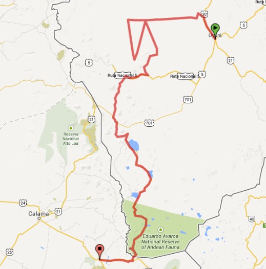
Leg 8: Uyuni to San Pedro de Atacama
Leg 9: San Pedro de Atacama to Sucre
All distances are in kilometers and taken from the odometer. Lat and Long are for the location, where I stayed that night - the only exception being when the place I spent the night moved (so far on board a boat but I'm open to other possibilities - "bike on a train" etc) in which case I've used one of the more interesting GPS reference (like "Off Cape Horn") from sometime during that 24 hour period.
For those that want more information (e.g. for route planning), here's a link to the source data in xlsx format:
But first, some charts...
Daily mileage (ripio = unsealed roads)

Elevation / Mileage (at end of day locations)


Leg 5: Esquel to Santiago


Leg 7: Santiago to Uyuni


Leg 8: Uyuni to San Pedro de Atacama

Leg 9: San Pedro de Atacama to Sucre
[Insert map]
[Insert daily route]
References:
Locations and elevations captured with (increasingly temperamental) Garmin GPSMap 60CSx. As with all GPS systems position data is significantly more accurate than elevation data.
Maps created using routebuilder.org.
No comments:
Post a Comment